


WP1: Project Management
- You must login in order to post into this group.
Navigation
User login
ViBRANT is funded by the European Union 7th Framework Programme within the Research Infrastructures group.
Contract no. RI-261532. Period, Dec. 2010 to Nov. 2013. Coordinator: Dr Vince Smith. E-mail: enquiries@vbrant.eu
D8.2 - Analytical and reporting tools
The delivery of Analytical and reporting tools include two main software packages:
1) GeoCAT: This tool is designed to produce rapid species level conservation assessments based on IUCN Red List Categories and Criteria (IUCN 2001). Through an easy to use interface with a familiar Google Map underlay you can upload primary occurrence data for a species and at the click of a button calculate values relating to the geographic range of a species.
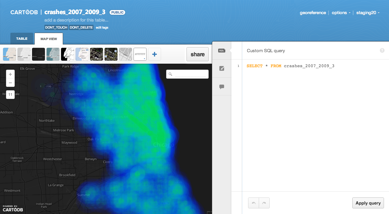
2) CartoDB: An Open Source project to enable analysis and visualizations of geospatial data. The tool has been created in a very generic way to enable many different analysis and reporting use cases. CartoDB has been upgraded to 2.0 to focus on usability and performance.
In this report we include a description of the different components being developed by Vizzuality. During the development several workshops had been organized to engage with future users and help them adopt the new technology.
Finally it is included a review of the current usage of the two applications and possible ways of continuing the work.
- Login to post comments


